
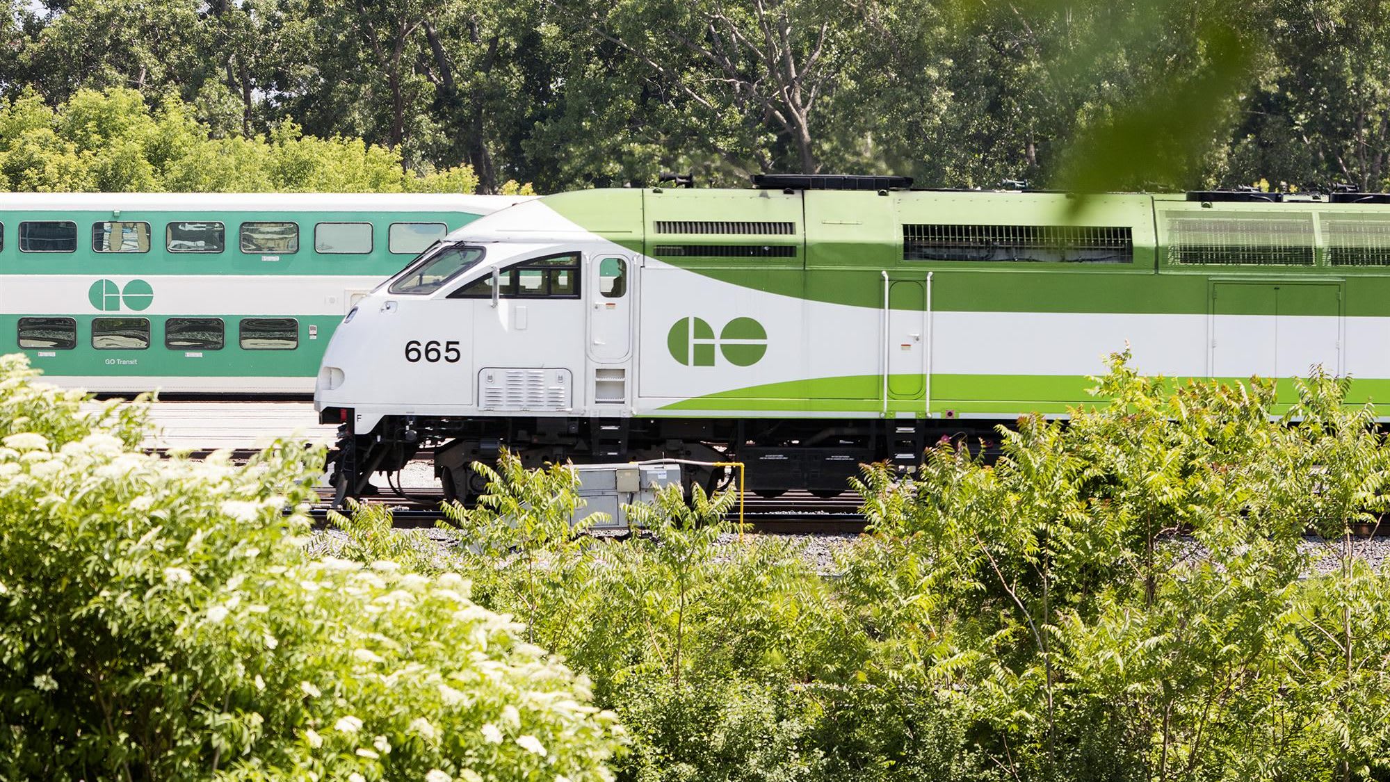
Ontario Line
A new 15.6-km subway line in Toronto that will run from Exhibition Place, through downtown, all the way to the Ontario Science Centre.- Projects & Programs
- Ontario Line
- Resources
- Environmental Conditions Report
Environmental Conditions Report
The Environmental Conditions Report characterizes environmental conditions within the Ontario Line study area through a combination of desktop review and field studies in accordance with industry standard techniques, protocols and guidelines.
Read the full Environmental Conditions Report
Read the Notice of Final Publication
Read Appendix C1 – Project Distribution List
Read Appendix C2 – January – February 2020 Public Open Houses Summary
Read Appendix C3 – Public Engagement Record: December 2019 – September 2020
Read Appendix C4 – Public Engagement Record: September 2020 – October 2020
Read Appendix C5 – Stakeholder Consultation and Correspondence
Read Appendix C6 – Indigenous Community Consultation and Correspondence
Explore each of the environmental assessment components and read about how we plan to address impacts below.
Potential effects and mitigation measures
Potential effects
Construction
- Disturbance or displacement of wildlife.
- Removal of/damage to trees, terrestrial vegetation and wildlife habitat.
- Potential impacts to aquatic/riparian vegetation.
- Potential erosion and sedimentation.
Operation
- Maintenance activities may result in disturbance/loss of vegetation and habitat.
Mitigation measures
Construction
- Sensitive-wildlife timing restrictions for construction activities (e.g., removal of vegetation outside of the breeding bird season).
- Wildlife exclusion measures will be implemented as required to avoid destruction, injury or interference with wildlife species and their habitat.
- Tree/vegetation removals will be kept to a minimum and limited to within the construction footprint.
- Temporarily disturbed areas will be restored/re-vegetated using non-invasive, preferably native plantings and/or seed mixes.
- Construction activities will maintain buffers established during the design phase to minimize potential impacts to wetlands and waterbodies.
- Erosion and sediment control measures will be implemented.
Operation
- Vegetation removal and habitat disturbance will be kept to a minimum and limited to within the Metrolinx right-of-way.
Related Projects
Land Acknowledgement
Metrolinx acknowledges that it operates on lands that have been, and continue to be, home to many Indigenous Peoples including the Anishnabeg, the Haudenosaunee and the Huron-Wendat peoples. We are all Treaty people. Many of us have come here as settlers, as immigrants or involuntarily as part of the trans-Atlantic slave trade, in this generation, or generations past. We acknowledge the historic and continued impacts of colonization and the need to work towards meaningful reconciliation with the original caretakers of this land. We acknowledge that Metrolinx operates on territories and lands covered by many treaties that affirm and value the rights of Indigenous communities, Nations and Peoples. We understand the importance of working towards reconciliation with the original caretakers of this land. At Metrolinx, we will conduct business in a manner that is built on a foundation of trust, respect and collaboration.